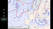
Embark on your sailing adventure with confidence by incorporating SailTools Surface Pressure Charts into your voyage preparation ritual. This essential tool provides a comprehensive 5-day forecast, showcasing the larger meteorological patterns across Europe, aiding sailors in anticipating weather conditions that may impact their journey.
The intent of the app is to equip users with broad-scale, extended meteorological data. However, for current, localized weather conditions, users should refer to additional sources. With an emphasis on utility in less-than-ideal internet conditions, it offers charts as low-resolution images, ensuring efficient download sizes without sacrificing the essential information needed for informed decision-making.
Designed with user experience in mind, SailTools Surface Pressure Charts boasts a lightweight construction that promises speed and simplicity. Moreover, the tool is available without charge and remains uncluttered by advertisements, prioritizing ease of use and uninterrupted access to invaluable weather insights.
Some prominently featured elements include:
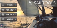
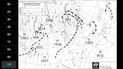
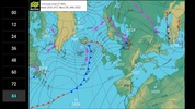
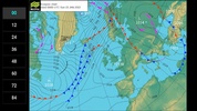
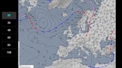
- Analysis and forecast charts from DWD, UKMO, and KNMI.
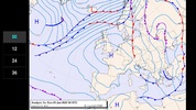
- Information updated for immediate conditions (+00 hours) and projections up to 120 hours in advance.
- Depiction of isobars and sea level pressures in hectopascals (hPa).
- Presentation of frontal systems, including heat fronts, cold fronts, and occlusions.
- Thickness data integrated within the UKMO charts in black and white.
Drawing upon reputable meteorological sources, with data generously contributed by DWD, UKMO, and KNMI, the game ensures reliability in the forecasts presented. Whether you're an experienced sailor or embarking on your maiden voyage, it is a valuable asset for your nautical navigation toolkit.
Requirements (Latest version)
- Android 2.1.x or higher required





Comments
There are no opinions about SailTools Surface Pressure Charts yet. Be the first! Comment